
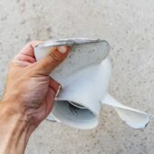
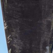
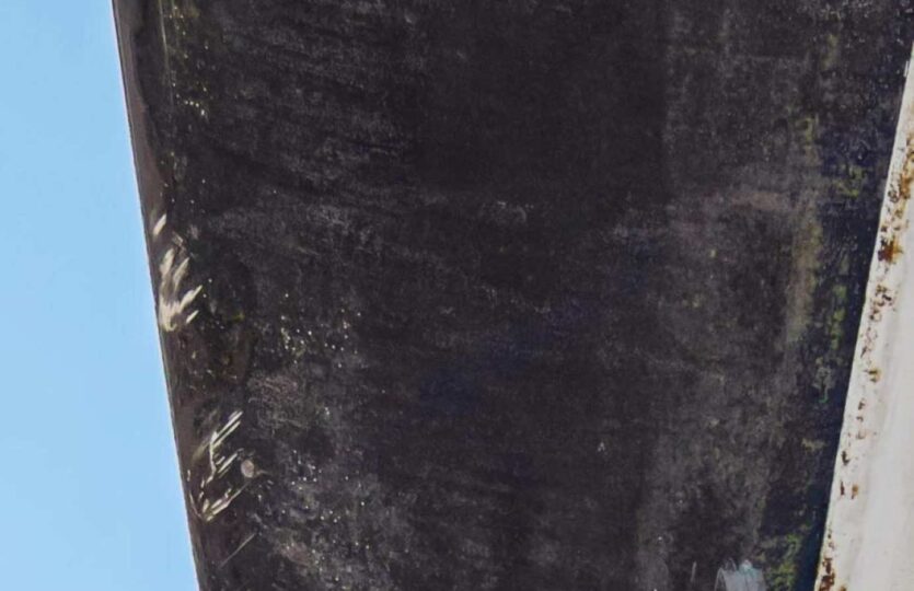
While passing the small islet north of Norra Dyngön, we touched the bottom with a boat with a draft of 1.6 meters, despite being well outside the 3-meter curve according to both the SjfV chart and the Garmin chart. Upon checking with the dinghy, handheld GPS, and handheld depth sounder, a rock ledge with a depth of 1.1 meters was found at the given position. In fact, there are two peaks, the second one also at 1.1 meters at position 58°36.746’N 011°11.654’E. At the time of measurement, the water level was approximately -0.2 according to the somewhat nearby measuring station in Brofjorden. Note that the breaker noted west of the small islet also exists, precisely at the position; I checked it to ensure that the cartographer had not misunderstood and “placed it incorrectly.”
Weather
 Wind
Wind
 24 km/h
 Swell
Swell
 Height
 Partially cloudy
 --
--
 14°C
14°C