
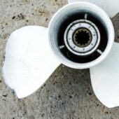
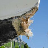
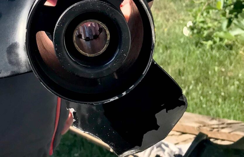
Barely visible on the nautical chart despite being a large shoal. Not marked with anything at all and lies just below the waterline at high tide. Grounding against large underwater rocks that punctured the rig, causing oil to leak out and cracks in the hull. Towing was obtained. Do I have to go myself and put a marker on the shoal? Nothing is happening…
Weather
 Wind
Wind
 12 km/h
SE(121.2°)
 Swell
Swell
 Height
--
 Overcast
 --
--
 16°C
16°C