
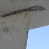
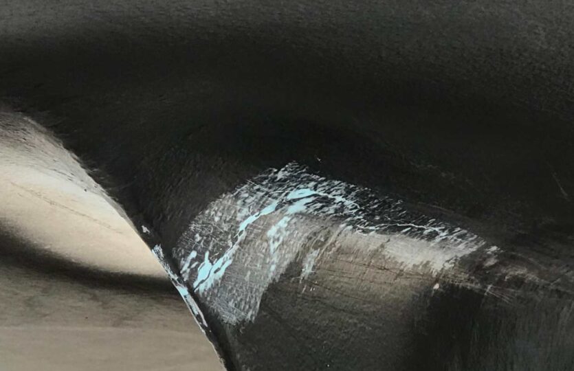
It is an approximately 100-meter-long embankment of blasted rock that extends from the western point of Tallholmen, in a westerly direction, towards Porsholmsskäret about 30 cm below normal water level. On the map, it looks like a localized reef within a shallower area. The most recent grounding occurred on July 13. In recent years, I have pulled off grounded boats on five occasions. Everyone thought they were clear inside or just outside the reef.
Weather
 Wind
Wind
 19 km/h
W(290.1°)
 Swell
Swell
 Height
--
 Partially cloudy
 --
--
 14°C
14°C
