
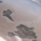
The navigation mark is located on a shoal and was previously clearly marked with a pole and a top mark. This pole and mark have been gone for some years now, and only the small cement foundation remains, protruding 40-50 cm above the water surface.
It can be very treacherous as it is not always completely visible and can be discovered too late by boat operators who are not familiar with it. The foundation, although quite small, is stable enough to easily puncture a small to medium-sized boat.
However, I still think the shoal should be marked in some way, as there is lively traffic from the islands to the mainland. But the mark must be much more clearly indicated than it is today!
Weather
 Wind
Wind
 24 km/h
 Swell
Swell
 Height
 Partially cloudy
 --
--
 13°C
13°C
